
Barriers to Transport

This theme explores where people face challenges in accessing transport within Surrey. It draws on data about car ownership, public transport, and rural/urban differences.
The sliding bars, found under the map, allow you to view the intensity of need across wards in Surrey or use the drop down menu to look at specific Local Authorities and Wards.


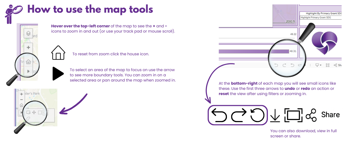
We will be hosting the Neighbourhoods Needs Map on our website for a trial period and we would really value your feedback on your experience when using these maps - how easy are they to use, how easy the data is to understand etc… This will allow us to revisit and improve functionality once the trial period has ended.
Please click below to submit your feedback. Thank you!